Saturday, June 18, 2011

Port Townsend- Another Day

Another small storm came thu last night.Wind, rain and morning fog so thick I could not see Marrowstone or Whidbey Island. After breakfast and listening to the weather report, we decide to stay put today. The marina says it is OK but we will have to change to another slip. We motor around to the new one and tie up stern to again. I call Port Ludlow and change my reservation to sunday. Then we walk into town, looking at the shops and have lunch, cruise the boat yard, and settle down for an easy afternoon. I'm looking at downloading some other charts, as I don't like the size of the northern puget sound that I have.

New Slip for the Day


Like-Like


A beautiful old building


Downtown Port Townsend


A Flicka 20 Ft.


This has got to be a Benford design


A quaint little one


We like this.


Friday, June 17, 2011

Port Townsend Another Day in Port

I have caught up posting all the photos on the different legs of our cruise. So take a peek

Last night Joyce and I ate at the Chinese restaurant here on the Point. It was wonderful and my fortune cookie seemed like a very good omen: "You will reach a goal for which you have been striving."

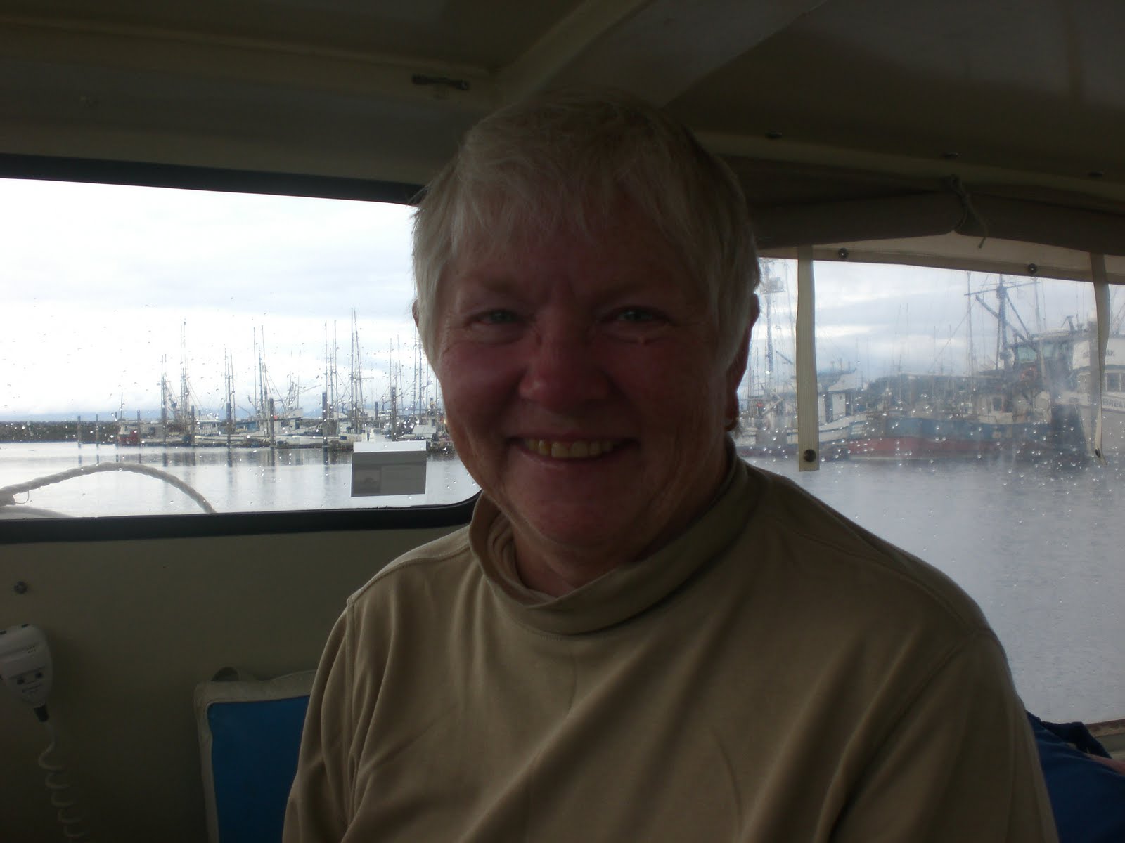
This has been a very relaxing day. It helps to lay over and re-group on things, take some time to hang out and see this great town. It is truly a seaport town. I went in and took a shower, while Joyce got breakfast ready. It was delicious as ever. I did the dishes, while Joyce showered and started the laundry. Another boat is to dock behind us, so when she returns, we turn Shatoosh around so we can depart tomorrow with the bow outwards. We are all clean, so don our new Salish Sea t-shirts, but put a long sleeve shirt as a first layer.

A Nordhaven 45 pulls in and the couple is taking her maiden voyage. She is a well traveled vessel, cruising the south pacific. This is a sea going boat and is beautiful. They give us a tour and wow, the pilothouse is a beauty. Another dock mate has problems with his engine this morning and it turns out he caught a crab pot line on his prop, so they are being hauled out.

I see an Erikson from Hood River, Oregon. They are live aboards and have been berthed in Scappoose up river from me. A small world. They crossed the bar the day before we did and ran into the guys in Port Angeles that I met at Martin Slough who were crossing the bar on the 10th. This couple will keep their boat in the south sound.  There are several Boat Clubs having their cruise-ins this weekend. Lots of folks walk the docks here, so I hang my Banner in the stern window, put out my flag and tidy up the boat. My long time friend Mary is coming today to visit and take us to lunch and to the grocery store. This will be a big help. We have a delicious Indian lunch which suits us fine. We bring on the stores from Safeway: lobster tails and Alaskan salmon. It has been a delight to see Mary again. We crewed together along the Mississippi and Florida intracoastal waterway and both owned Kenner Kittiwakes in Texas.

I show Joyce how to put in waypoints into the sea clear program for the last days of our journey together.
We have had to change some of our plans for next week. We will only be staying in Gig Harbor one night and that is on the 23 June, Thursday. This has been another sunny, beautiful day. I love it.


In Pt Hudson Marina


Cute as a button


45 ft Nordhaven


Taking a tow to be hauled out


Team Salish Sea
 

Mary and Hira


Thursday, June 16, 2011

Port Angeles To Port Townsend

We need to delay departure for tide change, so take the opportunity to have a sea women's breakfast at the local cafe at the top of the marina. The pancakes, eggs and bacon were great and on the senior menu. Joyce and I walked some of the other docks and went aboard a newly constructed Aluminum 60 ft vessel, built for the Navy to go atop a cruiser. They were doing trials on it and it had 6 hours of engine time. Its function would be a dive vessel for underwater repairs.

We got back in time to prepare Shatoosh and, of course, the wind came up pushing us into the dock.. We pulled out in reverse, kicking my starboard stern around...I do love that Volvo left hand prop. Just outside the marina we turn and see the Olympics in snow against the blue skies and green trees. There is nothing more beautiful.

At 1030 we hear the Victoria Coast Guard reporting a capsized vessel 2 nm south of Cape Flattery. Also, the Puget Sound CG, announced that at 0800 hrs someone was lost in the water, and later recovered. The seas are flat, a westerly swell 1 ft and minimal wind.

1120 we are approaching the Dungeness Lighthouse, so we pull in closer to take a photo and cruise the beautiful sandy spit in 24 ft of water. Joyce had walked that spit some years ago. The tide is on our side now and we are swiftly moving between 7- 10. 3 knots.

At 1300 I go below and take a short nap. Upon rising, The Clipper From Seattle /Victoria run is returning, along with the Hawaiian Chieftain heading to Port Ludlow. I call and get a slip for Point Hudson Marina. At 1400 we are tied up in the newly renovated marina.

Day's run: 32nm
Total: 374nm


Joyce plots positon on charts

Dungeness Lighthouse


Olympic Mtns


Wednesday, June 15, 2011

Neah Bay to Port Angeles

 The big sea lions cruising around the docks really started their barking at 0300 hrs. We held off departure to wait for the tide change until 0700 hrs. Before leaving Joyce and I dumped the water out of Pashmina's flooring. It is a beautiful morning. the bald eagles are up early and are very vocal.

We cruise in to Seiku to take a look at the docks there. Good to know that you can get out of the wind and have a rest.
The day continues to improve and the seas are flat and once the tide shifted we are able to make up some time with 10 knots. The weather reports still call for small craft warnings, but they haven't showed their faces yet. It is after 1530 before the winds start which makes docking difficult, and another large fishing boat is standing off as we maneuver to get a space at the dock.


Leaving Neah Bay


A nice wake


Our first peek at the snow covered Olympics.
We have a beautiful, but long day and I am pooped after arriving in Port Angeles. We refueled, pumped out the head, docked, cleaned the lunch dishes, made a grocery list and Joyce walked to the store and brought groceries and ice back in a cab. Then she cooked a wonderful steak dinner with corn on the cob and salad. I like this first mate. I did the dishes and repacked the ice chest and refrigerator. The chores are never ending.
Refilled our extra bottles of water, looked at tides for tomorrow and determined a departure time.
Day's run 57 nm
Total 342 nm.

Tuesday, June 14, 2011

Shatoosh Rounds Tatoosh Island Cape Flattery

Before I get into our day, I want to thank all the special commercial fishermen at La Push. They spent alot of time discussing our weather, our plan north, Albin boats and all were very supportive of our adventure and reconfirmed that our morning departure would be good and safe. They all were going out again, but had to wait for the flood tide, as they all have 6 foot drafts. While I did not get their names, their vessels are: Katy J, Pacific Son, Pamela Ann, a Farallon 25, and a Uniflite 28. The Captain of the Pacific Son offered to cook us breakfast this morning, but we were leaving early. Thank you all and it was wonderful to meet you guys.

We took some extra time at daybreak to walk to the entrance of the harbor to look at the ocean. It seemed to have calmed down quite a bit, so we decide to go after listening to the unchanged weather report. west wind 15 kts 11 seconds, 7 ft seas. The tide was out and the fishing boat that was tied to the fuel dock was aground as was the dock. The depth at Shatoosh was 4ft. After cleaning the breakfast things, the last bit of tank water spitted forth. How could we have used a whole tank of water? We refill the tank quickly, stow the electrical cord and off we start at 0600 hrs. The depth increases and we are in 10 feet just a few feet from the dock.

It is drizzling, as we leave the channel, and set our course for the Q buoy. Our plan is to head out for one hour and see how the seas are and how we are riding. This will put us at the 3 mile curvature and then we will be able to change our course and see how we ride with the west wind on our beam. During this phase of the morning, we hear a updated weather report from the Coast Guard in the Puget Sound Sector which states there will be gale warnings in late afternoon/evenings in the Straits of Juan de Fuca. This complicates our picture and plan.

Hour 2, Joyce takes the helm, and we continue our course and are riding nicely with the 7-8 foot pacific rollers. The storm which was ahead of us has moved onshore with rain. I take the time to send a distant Reiki treatment to our section of the ocean. I feel balanced energy and have confidence that we can continue on our course.

At the beginning of hour 3, I call Jean and discuss the new conditions and she feels we will be fine. The seas are very comfortable and I am loving that pacific swell. We compute ETA for Umatilla Reef and Tatoosh Island. With our speed 6.5 and 7 k we will be at Tatoosh at 1130hrs. This will put us ahead of any storms in the Straits. I spot whales on our port beam and there are several spouting, but too far away to see bodies. While I would love to alter course and get closer, we must stay focused on our plan. Don't get side tracked, I tell myself. We continue to monitor the broadcasts, while we make our way north. We decide to commit to continue; armed with energetic facts, weather facts, projected ETA's, sea conditions, no wind for 3 hours, and Shatoosh's amazing ability to gently glide over the seas.

About 0900 we begin to hear radio reports of Naval firing operations and Contact with Sea Planes. We are at the edge of a naval op zone. I go online to the Columbia River Bar Pilots site and pick up their AIS system of identifying ship traffic. It shows 2 south bound freighters about 60 miles offshore, but no US Naval vessels. It is such a wonderful aid to have. Thank you Verizon broadband in my net book, to be able to access the internet off shore. We never hear anything else, never see ships or planes or bombs dropping on us. We just stay focused on beating this storm that is headed for the Straits.

We settle down with a beautiful cruise and as we approach Cape Flattery, the seas build and we are getting large reflected waves from the Cape back to us. The seas are building from the ocean, the tide is flooding and at 1127hrs we round the R 2 buoy and head down the Straits with nice seas on our stern.

1225 we are in Neah Bay at the Makah Marina. We are told, the pumpout doesn't work, the fuel dock is closed because it doesn't work, the hand dryers in the restrooms don't work, but the showers are great and are $.25. The gales have never appeared and our wind is light at maybe 5 knots. Joyce and I go to a near by cafe and have a hamburger. We take a nap which turns into 2 hours of deep sleep.

The highlight for Joyce was rounding Cape Flattery and Tatoosh Island. My highlight was multi-faceted: I loved how I could interface the energetic patterns of the ocean with Reiki and the hard facts of oceanic data and listen to my intuition to see and feel the whole picture to make a decision about the course of action. Another was, of course, to see Shatoosh on the open ocean and how well she performed in all kinds of weather/sea conditions. She has out performed any expectations that I might have had about her abilities on her maiden northern Pacific Ocean leg of our great adventure.
Day's run: 34nm
Total: 285nm

Leaving La Push


An Opening in Weather


Hira Keeping Watch


Rising Swell Near Cape Flattery


Cape Flattery

Buoy R"2" Cape Flattery


All Cleaned Up


Sunset in Neah Bay


Eagles Neah Bay


Monday, June 13, 2011

Screaming Eagles--Go- No- Go-- La Push

13 June 11

We are up again at 0400 hrs to get started. Joyce is trying to get the the lines released and a huge bald eagle flies over her and lands on the shore and minutes later there are 2 more flying and they are screaming at each other. There is slight drizzle, calm wind in harbor at 0530, so we make our way out the channel. On the pilings there are 3 more. Wow..5 eagles around the boat is another blessing. We continue towards the entrance and, oh my gosh, there are rollers coming in and outside there are lots of white caps.

It does not look good to me, but we continue to proceed further to see what the general lay of the water might be. The wind/waves are from the SW which puts us on a southerly course to south of our entrance buoy"Q". the seas are 6-8 ft with 3ft. wind waves. Shatoosh is riding supremely well and these are the biggest seas we have been in together. After a run south we, being good sailors, decide we will gybe and see what our lay line will be. Finding a quiet turning point does not show up for quite a while and we hold a course that puts us out past the buoy.

Decision time: Do we stay or do we return? If we stay it means that the chances of the weather worsening with the day increases by the hour and if we wait too long to turn back the Coast Guard could close the bar. Joyce and I decide to turn back, as it is just too bad. Again it takes us a long time time to find our moment to make the turn and I throttle up and Shatoosh responds quickly and I can hold the course with the wind and seas on my stern. Joyce is looking aft and reporting on the status of the waves. We are in a pretty good position to head for the R "2" Buoy, but each chance I get, I take it to nudge Shatoosh's bow away from James Island and more to the buoy. We are in good position to slice through the entrance and Joyce says, "here comes a good one". I reply, " does good mean big"? She smiles and says, "yes". Big is not good, big means bad to me. At any rate, whether it was good or bad, it slipped under Shatoosh's hull quite nicely and we were again safe in the La Push harbor. We dock at 0639 hrs...relieved to be out of the terrible conditions. I learned that Joyce and I make a good team, Shatoosh can really handle the seas and I do a great job steering Shatoosh in heavy weather. Joyce makes pancakes and Polish sausage for breakfast and this is our second breakfast in 3 hours.

Its not long before the fishing fleet begins to come in and the captains all state that it was too bad for them. I watch them unload salmon by the bin full. One Captain reported that the halibut was so thick out there they were trying to steal the salmon off the lines. The humpback whales were everywhere yesterday and there are gray whales still in the area.

Joyce and I walk to find the convience store and find that it is on the way out of town. We each carry a bag of ice and return via the beaches where instead of logs on the beach there are huge trees with old root systems intact. A newly deceased sea lion has washed up and I find me a special little beach house.

The Coastees go out in the big rescue vessel. It is loaded with sailors and they return in 45 minutes. I'll have to talk with them about the weather. The fisherman check the weather and state that tomorrow will be good for us to go. They will also go back out, fishing.

Today's run: 5nm
Total: 239nm.

Joyce brings in electrical cord


James Island Entrance


Doesn't look good


Great Breakfast


You should see the tree trunk


Amazing


My new beach house

A young sea lion dies


Salmon at its best


USCG La Push


Memorial to those who have died.


Thar She Blows...Westport to La Push

12 June 2011
0530 hrs rolls around and we are pulling away from the marina. The eastern sky is blue with a sun rise, the southern and western skies are dark and stormy looking. The seas are flat, the tide is flooding and there is a gentle north swell. Joyce blesses the Chahalis River with sacred water that I carry on Shatoosh to bless all the rivers that I have been on. The Chehalis river is home to the Lady Washington and the Hawaiian Chieftain. Joyce's repair job on the burgee is good and the flag hangs limp in the windless sea. Astern there are some commerical fisherman in trollers coming out.

0605 hrs: We approach an outer buoy and dead ahead of us I think I see a dark object. We focus in on the area and within minutes a humpback whale surfaces and in a few more minutes another whale comes up and blows a spout. They are moving across the channel to shallower waters near the R2 buoy. They are not in a hurray, just spending time on the surface and just below it. Yesterday we thought we have found a pot of gold with the rainbow , but having 2 humpbacks greet us, as we depart, is like winning the lottery.

All the fishing boats exit in all different directions and we are left all alone on our simple little trek north. I decide that we will follow the 3 mile curve today, as yesterday we were about 7nm offshore, near the 60 fathom line. The sun is heating up our starboard side of the boat and the port side is cold and foreboding. Shatoosh looks like the duality of light and dark. Joyce and I fight to seek out the sunny side of the helm station.

We have a very pleasant journey north, little to no wind, but by 1000hrs, there is cloud cover in all directions. Shatoosh is moving very nicely at over 7 k and at 1100 we are At Sea Lion Rock. The light wind has shifted to southerlies, along with the seas. The motion of Shatoosh is most comfortable and we speak about this fact to each other. This is becoming our smoothest run.

Last evening while I was blogging, Joyce was fixing a tuna preparation for our lunch today. Tuna, Mayo, hard boiled egg, sunflower seeds, and celery seeds. Today, I made sandwiches and we opened a jar of pickles. This hit the spot.

We ran across a few crab pots, but nothing like yesterday. AT 1300 hrs we are 2 nm south of Destruction Island. There is a large lighthouse, which we could see for miles. We run in close enough to get some pictures and then scurry past the outer western edge, which has a 30 foot ledge which extends a long way out. At 1400 we are 8.6 nm south of James Island, which is the outer elements of La Push and the Quilluyate River and our speed has picked back up to 7 k. There is a slight and short lived drizzle, which I am happy about. I definitely do not want to enter this harbor with it raining and poor visibility. At 3 miles south, I call the marina and get a slip next to the fuel dock. He states there are no bar restrictions.


Sunrise Westport


Blessing the River


Thar she blows


Troller heading south


Crab Pots


Heading north


She has her sight on something


Don't want to hit this offshore rock


Entrance to La Push


La Push Marina


Destruction Island


Course to La Push


Back in the 60's I remember driving to La Push and thinking this is the scariest looking harbor. I would never want to come in here. So today, as we approach, I don't have any fear at all, I am confident about entering this tiny, rock and island infested nook, on the northwest corner of the Olympic Peninsula. At 1545 hrs we find our narrow opening between the rock jetty and the rock and wind torn James Island. We are entering on an ebbing tide and the charts show 1 1/2 fathom, but with the high state of the rivers we have 2 fathoms. We take on 8 gallons of fuel and swing over to our slip. They print out a weather report for me.

My cell phone and internet is barely hanging on and I can get a couple of text messages out but nothing else. Joyce has nothing on her ATT. Later she found an unsecured wi-fi spot and sat on a rock to send something out. We had good coverage on the water, perhaps we should have stayed out!

We walk down to the Coast Guard Station and I meet a nice young female enlisted person. She says that it will be good to go, even though there will be rain and southerlies( wind and seas) and wind up to 15mph. We will see what the morning brings, but if we don't get out in the morning, then the forecast will keep us here for several more days. This has been such a low key, sweet day and we feel very grateful for being able to make this trip and be under the watchful eye of the Divine.

Day's run: 70nm
Total 234 nm